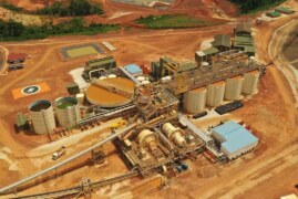
Mining operations depend heavily on accurate site inspections, terrain assessment, and ongoing maintenance. Traditional inspection methods often require manual surveys, heavy equipment access, and extended downtime. In recent years, drone-based aerial mapping has emerged as a practical solution that enhances safety, efficiency, and decision-making across mining sites.
Understanding Aerial Mapping in Mining
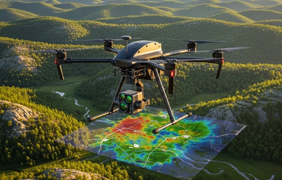
Aerial mapping uses unmanned aerial vehicles (UAVs) equipped with high-resolution cameras and sensors to capture detailed data from above. These drones generate orthomosaic maps, 3D terrain models, and multispectral images that provide a comprehensive view of mining environments.
Unlike ground-based inspections, aerial surveys allow operators to assess large or hazardous areas quickly without exposing personnel to unnecessary risk.
Improving Site Inspections and Safety
One of the most valuable applications of aerial mapping in mining is site inspection. Drones can safely monitor:
-
Open-pit walls and slope stability
-
Tailings storage facilities
-
Haul roads and access paths
-
Equipment yards and processing areas
By reducing the need for manual inspections in unstable or elevated areas, aerial mapping significantly improves worker safety while maintaining inspection accuracy.
Preventive Maintenance Through Early Detection
Multispectral and thermal imaging can identify early warning signs that are not visible to the naked eye. These include:
-
Moisture accumulation in tailings or embankments
-
Surface erosion and drainage issues
-
Structural stress areas on facilities or roads
Detecting such issues early allows maintenance teams to address problems before they escalate into costly shutdowns or safety hazards.
Enhancing Planning and Operational Efficiency
Accurate aerial data supports better planning decisions. Mining teams can use drone-generated maps to:
-
Optimize excavation and material movement
-
Plan infrastructure expansion
-
Monitor stockpile volumes with precision
-
Track site changes over time
This data-driven approach reduces guesswork and improves operational efficiency across the mine lifecycle.
Supporting Sustainable Mining Practices
Aerial mapping also contributes to environmental monitoring and compliance. UAV surveys help track land disturbance, reclamation progress, and environmental impact, enabling mining companies to meet regulatory requirements more effectively.
Conclusion
Aerial mapping is no longer an experimental technology in mining. It has become a practical inspection and maintenance tool that enhances safety, improves accuracy, and supports more intelligent decision-making. As mining operations continue to adopt digital solutions, drone-based aerial surveys will play an increasingly important role in efficient and responsible mining management.
For readers interested in understanding real-world applications of aerial data in industrial inspections, platforms such as DroneAsAService.com provide educational resources on UAV inspections and aerial mapping technologies used across multiple industries.