
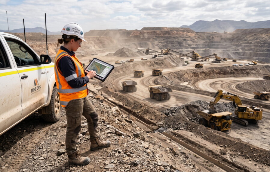
A mine plan drawn up six months ago describes a pit that no longer exists. Benches have advanced, haul roads have shifted, stockpiles have grown and moved. The design model remains fixed, but the operation it describes does not.
This gap between planned and actual conditions is not a flaw in planning practice. It is the natural consequence of mining as a continuous, transformative activity. Every shift changes the geometry planners rely on.
Effective mine planning depends on an accurate understanding of current site conditions, because planning decisions are only as reliable as the information describing the mine at the time those decisions are made. That dependency shapes everything that follows.
Why Modern Mine Planning Begins with Current Site Conditions
Mine planning has traditionally been anchored to design models: pit shells, phase boundaries, and scheduled sequences established during earlier planning cycles. These models remain useful, but they describe intent rather than execution.
Execution changes the site daily. Blasting alters bench geometry, loading equipment reshapes floors, and dumping activity builds or depletes stockpiles. None of this is captured by a design model that was finalised before the work began.
Planning decisions, therefore, cannot rely solely on original design. They depend on understanding the mine’s present condition, because the physical environment being mined is not static. It is continually modified by the operation itself.
This is why current site conditions, rather than historical design intent, form the practical starting point for planning. A schedule built against outdated geometry risks directing equipment toward volumes, faces, or access routes that no longer reflect what is actually there. Planning guidance from bodies such as SME consistently emphasises that operational data should inform, not simply follow, the mine plan.
What Current Spatial Information Represents in a Mining Environment
Current spatial information is not an abstract dataset. It is a representation of the operation as it exists right now: terrain surfaces, bench positions, haul road alignments, stockpile volumes, infrastructure locations, and drainage or water management features.
Terrain surfaces show planners where excavation and material movement have altered elevations since the last update. Bench positions indicate how far advance has progressed against the scheduled sequence, and where the next cuts should begin.
Haul roads change frequently as pits deepen and access routes are rerouted around active work areas. Spatial information confirms whether existing routes remain viable or whether new alignments are needed to maintain haulage efficiency.
Stockpiles are dynamic by nature. Volumes change daily as material is added or reclaimed, and their footprint affects available working space nearby. Planners need current volumes and locations, not historical estimates, to manage material effectively.
Infrastructure and water management features, such as sumps, pipelines, and diversion channels, also shift as mining advances. Spatial information records their present position relative to active workings, which affects both safety clearances and planning constraints.
Together, these elements describe operational reality rather than a static abstraction. Planners interpret this information as a picture of what the site currently looks like, not as a technical dataset requiring specialised translation. It provides the context against which every planning decision is made.
How Current Spatial Information Supports Mine Planning Decisions
Spatial information only has value once it informs a decision. Its role across mine planning is best understood by looking at the specific decisions it supports, rather than the datasets themselves.
Short-Term Production Planning
Weekly and monthly production plans depend on knowing exactly where excavation currently stands. Sequencing decisions, equipment allocation, and blast design all assume an accurate starting geometry.
If bench positions or floor elevations are outdated, sequencing assumptions break down quickly. Equipment may be directed to areas already mined out, or excluded from newly accessible volumes. Current spatial information keeps short-term plans aligned with what crews will actually encounter on site, reducing the need for reactive adjustments mid-shift.
Infrastructure and Haul Road Planning
Haul road planning depends on current alignment data, because pit advance regularly makes existing routes obsolete. Planners need to confirm whether a road remains usable, requires realignment, or must be decommissioned entirely.
The same applies to fixed infrastructure. Conveyor positions, crusher locations, and access points all interact with an advancing pit. Planning decisions around these assets require confirmation that their current position remains compatible with the mining sequence, not an assumption based on original layout drawings.
Material Management
Stockpile planning depends on knowing current volumes and locations, since both change continuously through loading and reclaiming activity. Planners use this information to decide where new material should be placed, when reclaiming should begin, and how available space constrains future dumping.
Waste dump planning follows the same logic. Capacity decisions and dump sequencing rely on current volumes rather than design estimates, particularly as dumps approach planned limits or require geotechnical reassessment.
Operational Coordination
Planning decisions rarely belong to a single team. Engineering, production, and survey functions all work from the same physical site, and misalignment between their respective assumptions creates operational friction.
Current spatial information gives these functions a shared reference point. When production, engineering, and survey teams work from the same current dataset, planning decisions across departments remain consistent, reducing the risk of conflicting assumptions about site conditions.
From Site Changes to Planning Updates: Maintaining Alignment
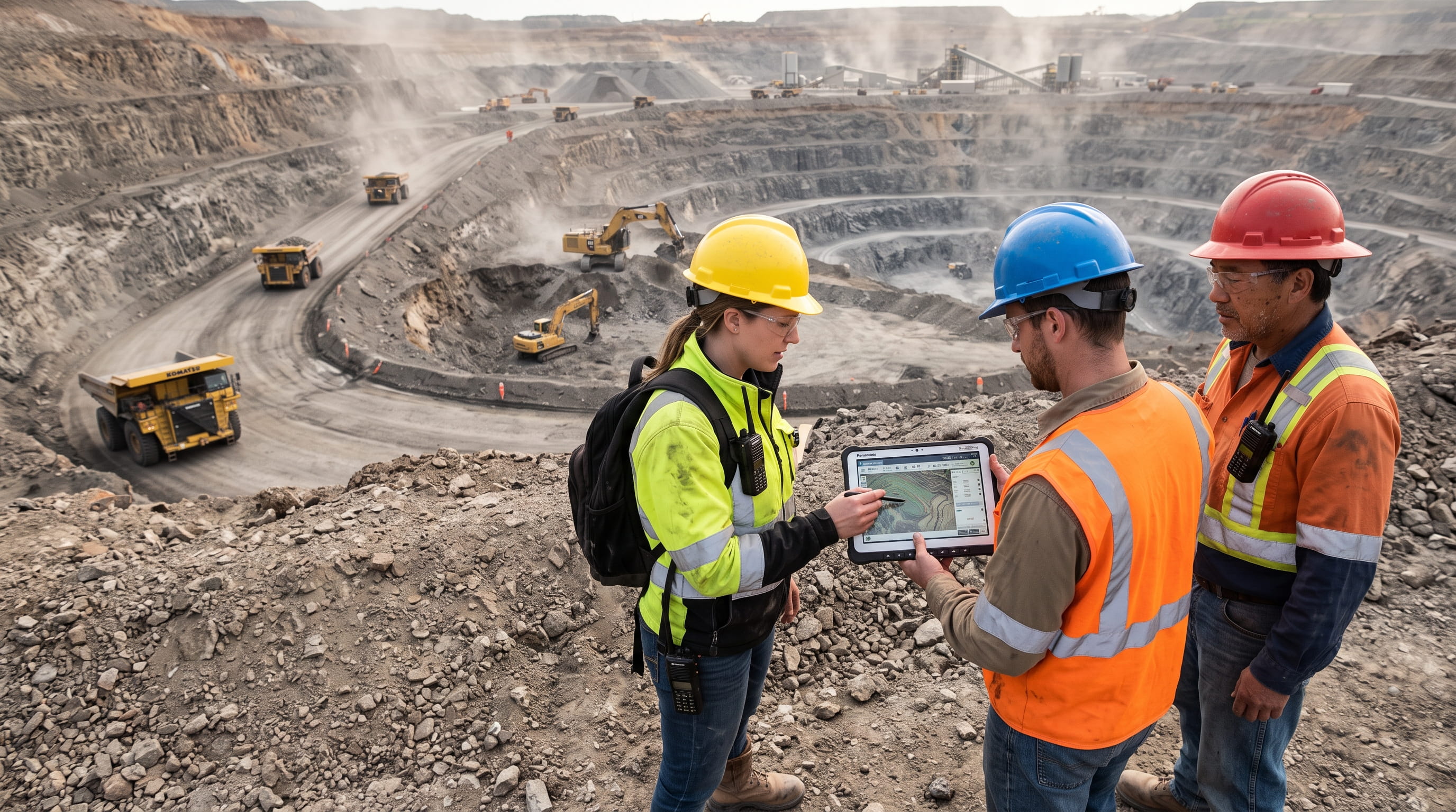
Mine planning is not a one-time exercise completed at the start of an operation. It is iterative, because the site itself changes continuously through ongoing extraction, material movement, and infrastructure adjustments.
Each round of mining activity introduces a gap between the previous plan and the site’s actual condition. Left unaddressed, this gap widens, and planning assumptions drift further from what crews encounter during execution.
Maintaining alignment means treating planning updates as a routine response to site changes, not an exception triggered only when problems arise. As benches advance or roads shift, the plan should be revisited against current conditions before the gap affects operational decisions.
This iterative relationship is what keeps planning relevant. A plan updated against current information reflects the mine as it is, not as it was assumed to be during an earlier cycle.
Current Spatial Information Across the Mine Planning Workflow
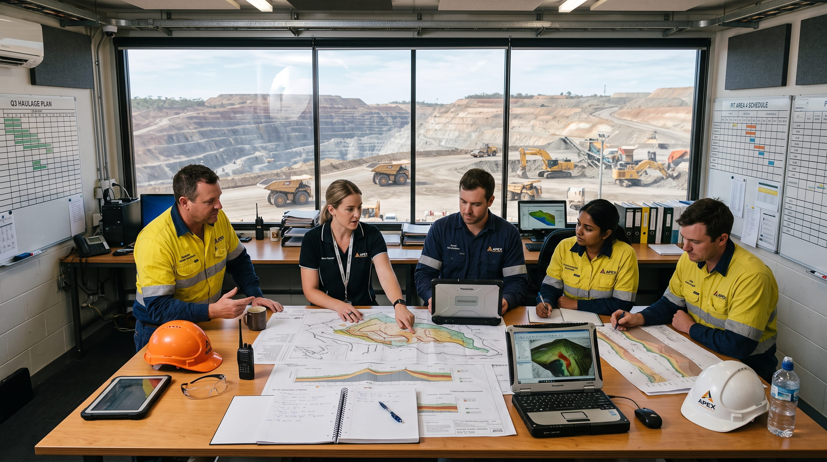
Multiple operational teams interact with the same physical site, and each contributes observations that ultimately feed a shared planning process. The value of spatial information increases because it serves several functions from a single dataset.
Mine Planning Teams
Mine planners use current spatial information to validate sequencing assumptions, update short and medium-term schedules, and confirm that design intent still matches site reality before committing resources to a plan.
Survey and Engineering Teams
Survey and engineering functions generate much of the current spatial information planners rely on. Their observations of terrain, structure, and geotechnical conditions feed directly into planning updates and design verification.
Production Operations
Production teams both consume and generate spatial information, using current data to guide daily execution while their activity simultaneously changes the site conditions that future updates will need to capture.
Environmental and Rehabilitation Teams
Environmental and rehabilitation teams track disturbed areas, water management features, and rehabilitation progress. Their observations inform planning decisions related to compliance boundaries and progressive rehabilitation scheduling.
Each of these functions works from different priorities, but they draw on the same underlying spatial information. That shared foundation is what keeps planning decisions consistent across departments that would otherwise operate from separate assumptions.
How Current Spatial Information Is Collected
Planners rely on several complementary methods to obtain current site information, and no single method serves every requirement. Ground surveying using GNSS and total stations provides high-precision measurements for specific features such as control points and structures.
Airborne and drone surveys capture broader terrain coverage efficiently, supporting regular updates across active pit areas. Satellite imagery offers wider contextual coverage, useful for monitoring change over larger areas or longer intervals.
These methods are typically used together rather than in isolation, matched to the scale, precision, and frequency each planning task requires. Among them, drone surveys have become a practical approach for capturing current site conditions in many surface mining operations. Readers interested in how drone-based surveys are planned, executed, and used for applications such as stockpile measurement, terrain mapping, and operational monitoring can explore this complete mining drone survey guide.
Characteristics of Reliable Spatial Information for Mine Planning
Planning quality depends directly on information quality. A precise schedule built on outdated or inconsistent data will still misdirect operational decisions, regardless of how carefully the plan itself was constructed.
Accuracy determines whether measurements reflect true site conditions within acceptable tolerances. Currency determines whether that accurate measurement still describes the site today, rather than conditions from weeks earlier.
Consistency ensures that data collected by different teams or methods can be compared and combined without introducing conflicting reference points. Completeness ensures no operationally relevant area has been left unmeasured, leaving planning blind to nearby conditions.
Repeatability allows planners to track change over time using comparable methods, while shared reference systems ensure all datasets align spatially regardless of which team or method produced them. Recognised surveying accuracy standards provide the benchmark against which these characteristics should be assessed, rather than arbitrary internal thresholds.
How Mine Planning Is Evolving with Better Spatial Information
Mining operations have become more dynamic and interconnected, with tighter coordination required between production, engineering, environmental, and safety functions. This growing complexity increases the cost of planning against outdated information.
Planning cycles are shortening in response. Where periodic updates once sufficed, many operations now expect more frequent refreshes of site conditions to keep pace with faster-moving production sequences and shorter decision windows.
Cross-functional coordination is also becoming a planning requirement rather than an operational nicety. As more teams draw on the same spatial information, planning increasingly depends on that information being timely, shared, and consistently maintained across the organisation, a shift reflected in broader industry guidance on data-informed operations from bodies such as ICMM.
Conclusion
Current spatial information is no longer simply a surveying output. It has become a foundational input to mine planning, sitting between changing site conditions and the decisions planners must make.
As mining operations grow more dynamic and interconnected, maintaining an accurate understanding of current site conditions supports more informed planning, stronger coordination across teams, and decisions that reflect operational reality rather than outdated assumptions. Planning quality, ultimately, tracks the quality of the information it is built on.
Frequently Asked Questions
What is current spatial information in mining?
It is up-to-date data describing present site conditions, including terrain, benches, haul roads, stockpiles, and infrastructure, used to inform active planning decisions.
Why do mine planners rely on current site information?
Because mining operations continuously change the physical environment, and planning decisions based on outdated conditions risk misdirecting equipment, schedules, and resources.
How often should spatial information be updated during mining operations?
Update frequency depends on the pace of operational change, but active areas typically require more frequent updates than stable or inactive zones.
What types of planning decisions use spatial information?
Production sequencing, haul road alignment, stockpile and waste dump management, and cross-functional coordination between engineering, production, and survey teams.
How is current spatial information collected in surface mining?
Through complementary methods including ground surveying, GNSS, total stations, airborne surveys, satellite imagery, and drone surveys, matched to the scale and precision each task requires.
Can different mining teams use the same spatial dataset?
Yes. Shared spatial information supports planning, engineering, production, and environmental functions simultaneously, keeping assumptions consistent across departments.