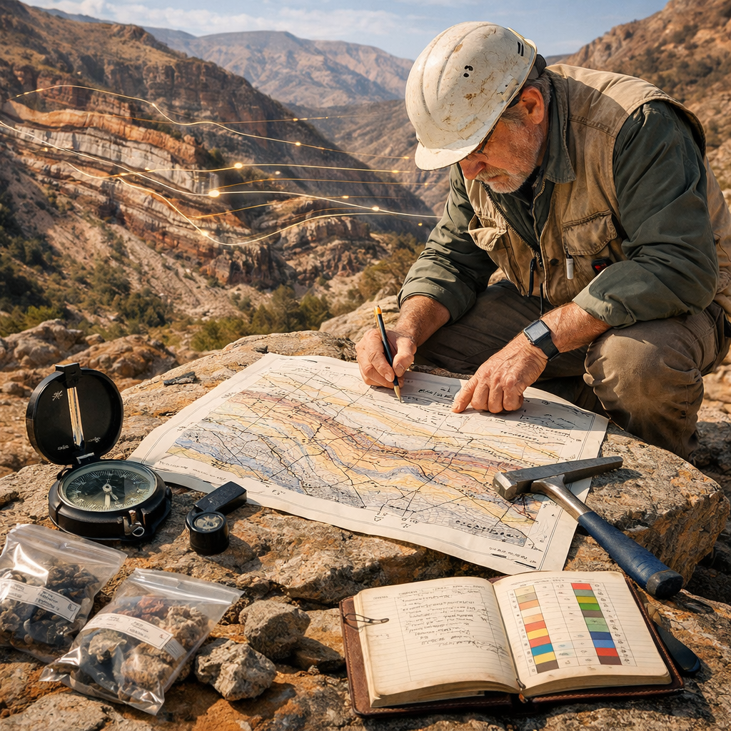
Geological mapping is the fundamental practice of recording Earth’s rock distribution and structure, serving as a critical tool for resource management, hazard mitigation, and scientific understanding. Its importance in the 21st century is underscored by recent advances that integrate diverse datasets to address complex environmental and infrastructural challenges.
Firstly, modern mapping is essential for environmental protection and risk assessment. An integrated approach combining geophysical surveys, 3D modeling, and GIS data has proven vital for characterizing complex sites like landfills. This allows for the accurate delineation of contamination plumes and the identification of co-occurring hazards such as slope instability, which single-method studies often miss (Ciampi et al., 2026). Similarly, the integration of geological data with property information is now seen as crucial for climate resilience, enabling property-level hazard assessments for floods or wildfires (Earth Science & Property Data, n.d.).
Secondly, geological maps are indispensable for natural hazard prediction. For instance, landslide susceptibility models utilize high-resolution geospatial data on geology and topography within a GIS framework to effectively classify risk zones, aiding in land-use planning and disaster preparedness (Dhakal & Singh, 2024). Furthermore, updating historical maps is critical, as legacy maps often contain inconsistencies that hinder modern applications. As demonstrated by work in Scotland, revising these maps using modern techniques is crucial for effectively managing regional aquifers and evaluating geothermal energy resources (Reeves et al., 2026).
Finally, modern geological mapping is moving beyond traditional two-dimensional boundaries. New approaches argue for representing geology as continuous 3D scalar fields rather than discrete polygons to better capture gradational processes like sediment deposition (Kirkwood, 2026). The integration of surface mapping with subsurface data from seismic surveys and wells is also key to understanding buried tectonic structures, providing a complete picture of geological evolution (Bellotti et al., 2026).
References
Bellotti, P., Stendardi, F., Barrera, D., Giulio, A. D., & Toscani, G. (2026). Unravelling the tectono-stratigraphic link of buried and exposed structural fronts of the Northern Apennines through integrated geological mapping (CARG Sheet 160 Pavia, Italy) (Nos. EGU26-6514). Copernicus Meetings. EGU26. https://doi.org/10.5194/egusphere-egu26-6514
Ciampi, P., Cassiani, G., Felli, G., Tarantino, N., Savarese, G., Vadalà, G., & Papini, M. P. (2026). Landfill contamination and slope instability mapping through multi-source data fusion: Advancing multi-hazard detection via 3D modeling, geophysical investigations, and open GIS data. Waste Management, 209, 115216. https://doi.org/10.1016/j.wasman.2025.115216
Dhakal, D., & Singh, K. (2024). A Geospatial Approach to Landslide Susceptibility Mapping of Spiti, India. 16, 183–205. https://doi.org/10.22044/jme.2024.14684.2779
Earth science & property data: Powering climate resilience. (n.d.). Retrieved March 25, 2026, from https://www.cotality.com/resources/article/integrating-earth-science-and-property-data-for-climate-resilience
Kirkwood, C. (2026). Geological boundary dispute: Reflecting on the ability of the traditional classified geological map to fully represent geology (Nos. EGU26-21401). Copernicus Meetings. EGU26. https://doi.org/10.5194/egusphere-egu26-21401
Reeves, T., Whitbread, K., Kearsey, T., Stephens, T., Arkley, S., Unwin, H., Murphy, B., Callaghan, E., & Hughes, T. (2026). Modern applications for basin-wide revision mapping in the Old Red Sandstone, Scotland (Nos. EGU26-7883). Copernicus Meetings. EGU26. https://doi.org/10.5194/egusphere-egu26-7883