

Subsurface mineral deposits present notable spatial complexity and heterogeneity. Traditional reserve estimation based solely on sparse borehole assays frequently struggles with grade miscalculations and poor representation of spatial variability. Geostatistics bridges this gap through mathematical models that honour spatial relationships. Variography and kriging serve as the two core pillars of modern resource evaluation. The variogram translates sparse drill-hole data into an objective model of spatial continuity, providing the mathematical backbone for accurate geological predictions. Mineral exploration teams consequently rely on this framework to quantify risk across complex subsurface terrains.
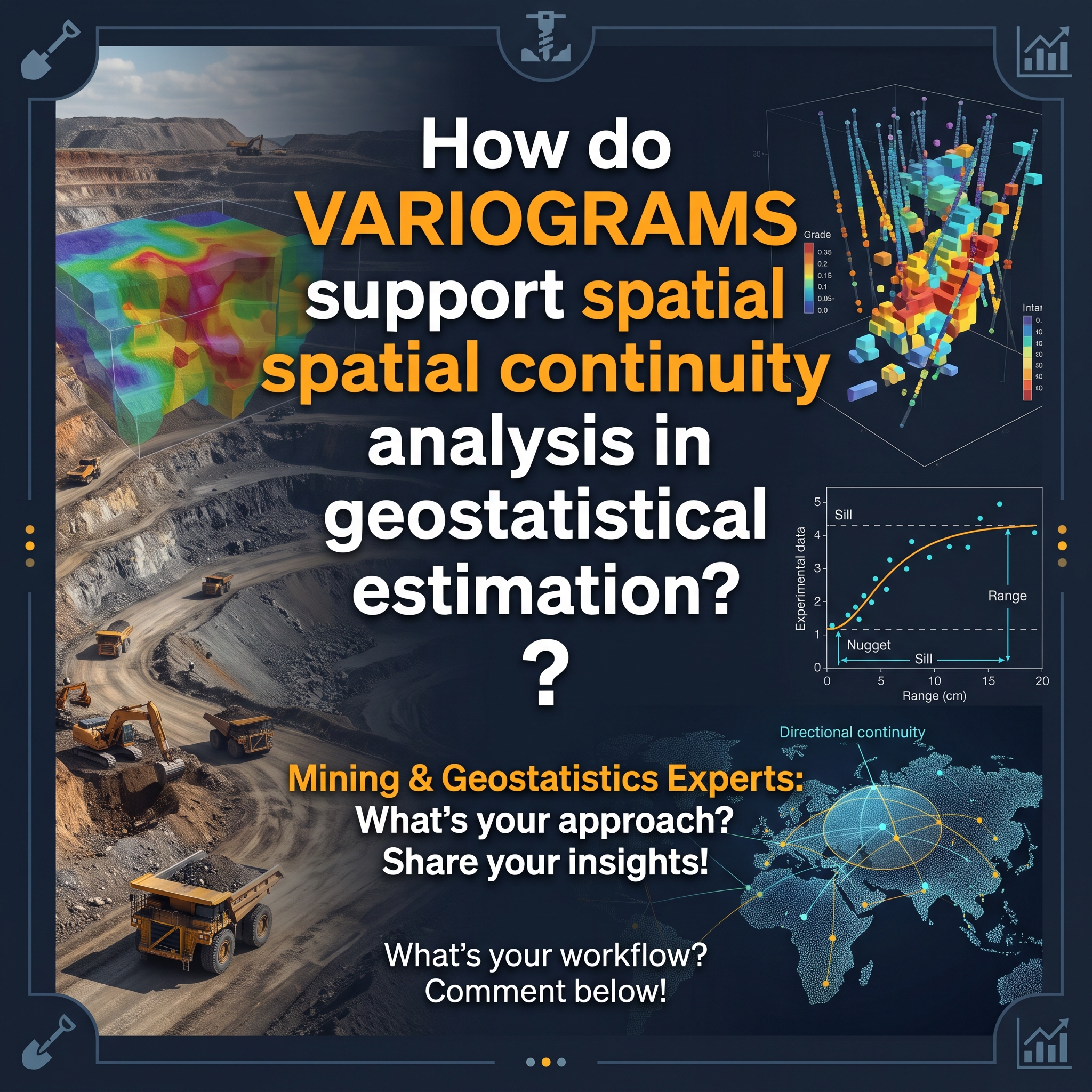
Spatial dependence reflects the geological reality that samples close together generally share higher similarity than distant samples. The experimental variogram measures this phenomenon by plotting average sample variance against increasing separation distances. Three key parameters define this structure: the nugget effect, the sill, and the range. The nugget effect captures short-scale variability and sampling error at near-zero distances. The sill marks the plateau where variance stabilises and spatial correlation ceases. The range defines the distance threshold beyond which samples become independent. Because experimental curves cannot be used directly in linear estimation systems, geostatisticians fit theoretical mathematical models such as spherical, exponential, or Gaussian functions to guarantee positive definite covariance matrices. These robust mathematical functions guarantee that subsequent block estimations remain stable and physically plausible.
Mineral deposits rarely exhibit identical continuity in all spatial directions. Structural forces, fault planes, folding, and fluid conduits produce anisotropic trends where mineral grades persist further along specific strike and dip orientations. Calculation of directional variograms along multiple azimuths identifies these preferential axes of continuity. Experimental studies reveal that alignment of the variogram model with primary structural directions substantially lowers estimation errors and enhances predictive accuracy. Complex structural environments also benefit from dynamic variography. This technique locally rotates the search ellipsoids along undulating geological boundaries, preventing unrealistic grade smearing across structural interfaces. Sound directional analysis ensures that mathematical interpolation respects actual rock fabric.
The kriging process requires a variogram model to establish exact spatial covariances between sample points and unsampled target blocks. The fitted variogram yields optimal, unbiased weighting factors that minimise estimation variance, significantly outperforming purely geometric distance weighting. Furthermore, spatial continuity parameters provide defensible foundations for mineral resource classification. Measured, indicated, and inferred resource categories directly rely on drill spacing relative to the variogram range. Distances within fractional thresholds of the continuity range support higher confidence categories, while peripheral estimates with elevated estimation variances guide subsequent exploration drilling campaigns. Resource auditors scrutinise these variogram ranges to verify grade continuity before reporting mineral reserves to financial markets.
Variograms provide the indispensable mathematical link between qualitative field geology and numerical resource estimation. A thorough variographic analysis establishes nugget parameters, continuity ranges, and structural anisotropy, which collectively de-risk downstream mine planning. Practitioners who rigorously model spatial continuity achieve superior ore-waste separation and build defensible resource models that satisfy international reporting standards. Robust geostatistical models ultimately protect mining projects against costly operational surprises.