Terrain mapping has always been a critical foundation for mining, construction, agriculture, and environmental planning. However, traditional surveying methods often struggle with limitations in speed, accuracy, and accessibility. Today, multispectral drone technology is transforming how terrain data is collected, analyzed, and applied in real-world projects. As a result, industries are shifting toward UAV-based multispectral mapping for smarter and more precise decision-making.
What is Multispectral Imaging in Drone Mapping?
Multispectral imaging is a remote sensing technique that captures data across multiple wavelengths of light, not just visible colors (RGB). In addition to standard imagery, it collects information from infrared (NIR), red edge, and other spectral bands.
This advanced capability allows drones to detect surface details that are invisible to the human eye. For example, vegetation health, soil conditions, moisture levels, and terrain variations become measurable with high accuracy.
Unlike standard drone photography, multispectral imaging provides analytical data rather than just visual representation. Therefore, it is widely used in precision industries where decisions depend on accurate ground insights.
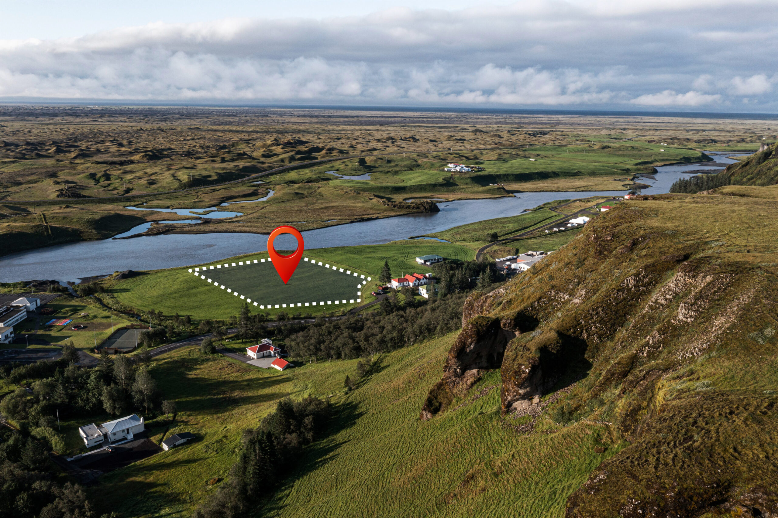
In modern surveying workflows, industries rely on Multispectral Terrain Mapping Services to extract deeper geospatial intelligence and improve decision-making accuracy across mining, agriculture, and construction projects.
How Drone-Based Terrain Mapping Works
Drone-based multispectral terrain mapping follows a structured workflow that ensures precise geospatial output.
First, flight planning is conducted to define altitude, overlap, and coverage area. After that, UAVs equipped with multispectral sensors capture images across different spectral bands during flight missions.
Next, the collected data is processed using photogrammetry and specialized mapping software. This step converts raw images into usable geospatial outputs such as:
- Orthomosaic maps
- Digital Elevation Models (DEM)
- 3D terrain models
- Vegetation index maps (NDVI)
Finally, these outputs are analyzed to extract actionable insights for planning, monitoring, and optimization.
Key Applications of Multispectral Terrain Mapping
Multispectral drone mapping is being widely adopted across multiple industries due to its versatility and precision.
Agriculture
In agriculture, multispectral imaging helps monitor crop health, detect diseases early, and optimize irrigation. NDVI analysis allows farmers to identify stress zones in crops, improving yield efficiency.
Mining Industry
In mining, drone-based terrain mapping is used for stockpile volume calculation, slope stability monitoring, and site planning. It reduces manual surveying risks while increasing accuracy in difficult terrain conditions.
Construction & Infrastructure
Construction teams use UAV mapping for site analysis, cut-and-fill calculations, and progress tracking. It ensures better project planning and reduces costly errors.
Environmental Monitoring
Environmental specialists rely on multispectral data to monitor deforestation, water bodies, and land degradation over time.
Advantages Over Traditional Surveying Methods
Compared to conventional land surveying, multispectral drone mapping offers several key advantages.
First, it significantly reduces data collection time. Aerial drones can survey large areas in minutes that would otherwise take days on the ground. Moreover, it improves safety by eliminating the need for manual surveying in hazardous environments such as mining sites or unstable terrain.
Additionally, it delivers higher accuracy through high-resolution geospatial datasets. The combination of spectral and elevation data provides a more complete understanding of terrain conditions.
Most importantly, it is cost-effective in the long term since it reduces labor, equipment, and operational expenses.
Why UAV Multispectral Mapping is the Future
The future of terrain analysis is moving toward automation, AI integration, and real-time geospatial intelligence. UAV multispectral mapping plays a key role in this transformation.
With the integration of artificial intelligence and machine learning, drone data can now be processed faster and more accurately. As a result, industries can predict terrain behavior, optimize resource usage, and improve operational efficiency.
Furthermore, continuous advancements in drone sensors and analytics are making multispectral mapping more accessible and scalable for both small and large projects.
Real-World Impact of Multispectral Drone Mapping
The practical applications of this technology are already delivering measurable results.
In mining operations, multispectral mapping improves excavation planning and reduces material wastage through accurate volume estimation. In agriculture, it enhances crop productivity by identifying stress areas early. Meanwhile, in infrastructure development, it ensures better site design and reduces construction risks.
These improvements demonstrate how UAV-based mapping is not just a technological upgrade but a complete shift in how industries operate.
Conclusion
Multispectral drone mapping is redefining the future of terrain analysis. By combining advanced imaging technology with UAV systems, it delivers faster, safer, and more accurate geospatial insights across multiple industries.
As demand for precision and efficiency continues to grow, multispectral UAV solutions will become an essential tool for mining, agriculture, construction, and environmental management.