Sign In


Forgot Password?

Don't have account, Sign Up Here

Forgot Password

Lost your password? Please enter your email address. You will receive a link and will create a new password via email.


Have an account? Sign In Now

Sorry, you do not have permission to Add a Post, You must login to Add a Post.


Forgot Password?

Need An Account, Sign Up Here

Sorry, you do not have permission to add Article.


Forgot Password?

Need An Account, Sign Up Here

Please briefly explain why you feel this Post should be reported.

Please briefly explain why you feel this Comment should be reported.

Please briefly explain why you feel this user should be reported.

Mining Doc Logo Mining Doc Logo Mining Doc Logo
Sign InSign Up

Mining Doc

Mining Doc Navigation

  • Home
    • About
    • Contact us
  • Mining articles
  • Online Courses
Search
Sign up

Mobile menu

Close
join for free
  • Home
  • Online courses
  • Case study
  • Mining Community
  • Solutions listing
    • Lase Solutions
    • O-PitBlast Solutions
    • Continuous Mining
    • Longwall mining
    • Geosight Scanners
    • LoopX AI
    • Terafil solutions
    • Blasting solutions
    • Geotechnical
    • Submersible Pumps
    • Mine rescue system
    • Ore sorting
    • Whittle Consulting Solutions
  • Add Blog
  • Feed
  • User Profile
  • Posts
    • New Posts
    • Trending Posts
    • Must read Posts
    • Hot Posts
  • Polls
  • Badges
  • Home
    • About
    • Contact us
  • Mining articles
  • Online Courses

Mining Doc Latest Posts

Mining Doc
  • 0
  • 0
Mining DocExplainer
Added: August 11, 20262026-08-11T06:29:52-04:00 2026-08-11T06:29:52-04:00In: Geology

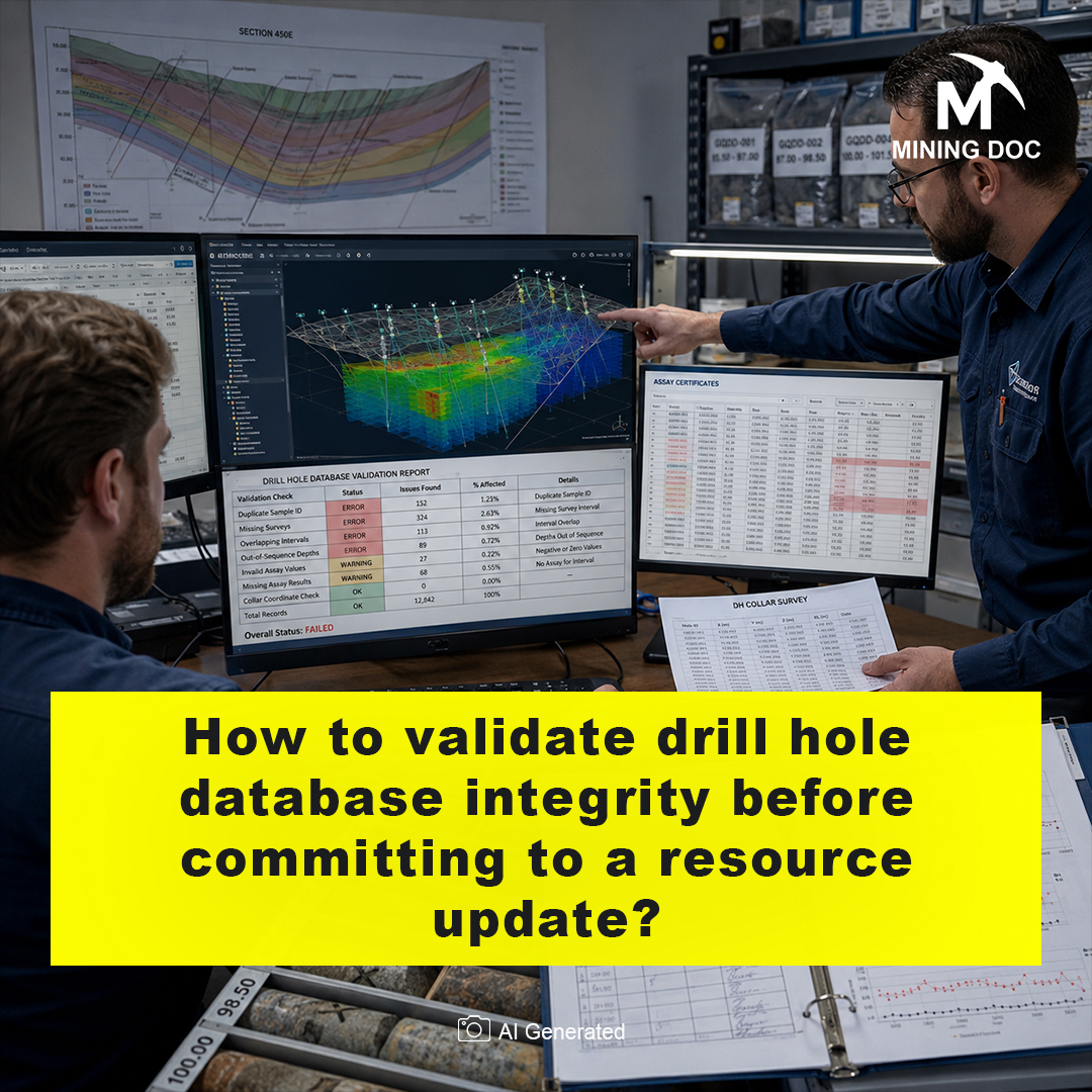
How to validate drill hole database integrity before committing to a resource update?

  • 0
  • 0

A drill hole database represents the place where all the information that was gained during the drilling campaign is saved. Database integrity refers to its accuracy and reliability. Verification of this database becomes an obligatory procedure before any resource update, or re-assessment of the tonnage and grade of the ore deposit based on the latest data obtained during the exploration. Errors and biased samples of the raw data mean that the estimation will be faulty, resulting in possible financial misinterpretation.

The initial stage of the verification consists of checking of some of the core data and exploratory data analysis. Geologists should make sure there are no overlapping intervals of samples, lost assays or unrealistic collar coordinates. Checking maximum depths of drill holes and negative assay values would be a minimum requirement. Another important point for this stage is comparison of assay values from the database with those of original lab analytical certificates.

Apart from table-based validations, it is imperative to consider spatial validations since misalignment of collar locations and excess deviation of holes underground will shift whole zones incorrectly. Proper desurveying of drill holes is necessary to make sure the spatial location matches the actual grade. Geologists must conduct the appropriate spatial validation of the sampling and grades to see the geological correctness. It can be done by applying structural geological and spatial visualization methods for irregular sampling orientations (Reid & Cowan, 2023).

Geostatistical validations include analyses related to grade continuity and the domain boundaries. Applying variogram allows to find out the extent of correlation of samples and make sure the correct method is chosen for interpolation purposes: kriging or inverse-distance-weighted methods can be utilized after validation (Bargawa et al., 2024). Additionally, in case when there is a deposit with soft boundaries between geological domains, multivariate correlation models could be considered in order to avoid artificial cut-off and distortions in tonnage of the mineral resource (Ekolle-Essoh et al., 2022).

The third fundamental element of database quality is the Quality Assurance and Quality Control (QA/QC). This process includes the analysis of blank results, duplicates, and certified reference material in order to assure the accuracy of analysis results. Cross-validation is used, whereby a known result is omitted for testing whether the interpolation can successfully reproduce the result of interest. Accuracy of such interpolations will affect the classification of mineral deposits as inferred, indicated, or measured (Bargawa et al., 2024).

In conclusion, the validation of drill hole database prior to resource assessment creates a connection between field sampling and financial predictions. Through sequential data cleaning, QA/QC checks, spatial analysis, and geostatistical cross-validation, resource modelers are reducing geological uncertainties. When the database is checked, it ensures that an updated block model is based on real conditions underground.

References

Bargawa, W. S., Safi’i, M. A., & Aditya, M. T. (2024). Determining the accuracy of mineral resource estimation using spatial statistical analysis – Case study in nickel laterite ore. AIP Conference Proceedings, 3019, 080005. https://doi.org/10.1063/5.0227377

Ekolle-Essoh, F., Meying, A., Zanga-Amougou, A., & Emery, X. (2022). Resource Estimation in Multi-Unit Mineral Deposits Using a Multivariate Matérn Correlation Model: An Application in an Iron Ore Deposit of Nkout, Cameroon. Minerals, 12, 1599. https://doi.org/10.3390/min12121599

Reid, R. J., & Cowan, E. J. (2023). Towards quantifying uncertainties in geological models for mineral resource estimation through outside-in deposit-scale structural geological analysis. Australian Journal of Earth Sciences, 70, 990–1009. https://doi.org/10.1080/08120099.2023.2217882
How to validate drill hole database integrity before committing to a resource update?
0
  • 0 0 Comments
  • 282 Views
  • 282 Reactions
  • 0 Followers
  • 0
    • Report
  • Share
    Share
    • Share on Facebook
    • Share on Twitter
    • Share on LinkedIn
    • Share on WhatsApp

Related Posts

  • What geochemical pathfinder elements are most reliable for vectoring toward a porphyry copper center at depth?
  • How to distinguish between primary and remobilized structural controls when mapping a shear-hosted gold deposit?
  • What's the right way to model geological uncertainty for pit optimization inputs?

You must login to add an Comment.


Forgot Password?

Need An Account, Sign Up Here
aalan

Sidebar

Sponsored Ads

aalan
  • Recent
  • Ore Crushing Plant for Mountain Mines: Managing Access, Transport, and Production
    • On: September 12, 2026

    Ore Crushing Plant for Mountain Mines: Managing Access, Transport, and ...

  • How Does the Crushing Chamber Design of Aggregate Crushing Equipment Affect Output and Finished Product Quality?
    • On: September 12, 2026

    How Does the Crushing Chamber Design of Aggregate Crushing Equipment ...

  • How Can Mine Construction Teams Reduce Rework During Fast-Track Projects?
    • On: September 8, 2026

    How Can Mine Construction Teams Reduce Rework During Fast-Track Projects?

  • The Mine in Your Pocket: Why Mobile ERP Is Reshaping Mining Operations
    • On: September 8, 2026

    The Mine in Your Pocket: Why Mobile ERP Is Reshaping ...

  • How Concrete Is Used in Crusher and Screening Plant Foundations at Guatemalan Mines
    • On: September 4, 2026

    How Concrete Is Used in Crusher and Screening Plant Foundations ...

  • Portable Crusher Plant for Hard Rock Mines: How to Design the Crushing Circuit Before Grinding
    • On: September 3, 2026

    Portable Crusher Plant for Hard Rock Mines: How to Design ...

  • From Data to Decisions: Why Mining Intelligence Is the Next Competitive Advantage
    • On: September 1, 2026

    From Data to Decisions: Why Mining Intelligence Is the Next ...

Go to Home page to view more

Top Members

Olena Skyba

Olena Skyba

  • 150 Posts
  • 2 Comments
Pundit
Marcial

Marcial

  • 91 Posts
  • 0 Comments
Enlightened
Jean Marais (Sanodea Group)

Jean Marais (Sanodea Group)

  • 26 Posts
  • 0 Comments
Beginner
Trending on Mining Doc

Trending Communities

Fixed Plant General Information Geology Mining Case Studies Mining Doc Documentary Mining Engineering Mining Events Mining Finance and Economy Mining Human Resources Mining Industry Research Mining Operations Mining Software Solutions Mining Sustainability Mining Technology Solutions Mobile Plant Equipment

Explore

  • Home
  • Online courses
  • Case study
  • Mining Community
  • Solutions listing
    • Lase Solutions
    • O-PitBlast Solutions
    • Continuous Mining
    • Longwall mining
    • Geosight Scanners
    • LoopX AI
    • Terafil solutions
    • Blasting solutions
    • Geotechnical
    • Submersible Pumps
    • Mine rescue system
    • Ore sorting
    • Whittle Consulting Solutions
  • Add Blog
  • Feed
  • User Profile
  • Posts
    • New Posts
    • Trending Posts
    • Must read Posts
    • Hot Posts
  • Polls
  • Badges

Footer

Mining Doc

Join our community and connect with other people in the Mining industry for knowledge sharing.

Legal Stuff

  • Privacy Policy
  • Terms of Service

Help

  • Support
  • FAQs
  • How to add new content and how to promote a content
  • Compliance and guidelines
  • Subscribe to Mining Doc

Follow

© 2026 Mining Doc. All Rights Reserved