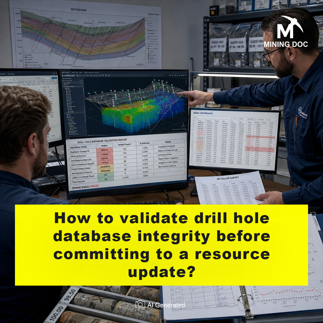


A drill hole database represents the place where all the information that was gained during the drilling campaign is saved. Database integrity refers to its accuracy and reliability. Verification of this database becomes an obligatory procedure before any resource update, or re-assessment of the tonnage and grade of the ore deposit based on the latest data obtained during the exploration. Errors and biased samples of the raw data mean that the estimation will be faulty, resulting in possible financial misinterpretation.
The initial stage of the verification consists of checking of some of the core data and exploratory data analysis. Geologists should make sure there are no overlapping intervals of samples, lost assays or unrealistic collar coordinates. Checking maximum depths of drill holes and negative assay values would be a minimum requirement. Another important point for this stage is comparison of assay values from the database with those of original lab analytical certificates.
Apart from table-based validations, it is imperative to consider spatial validations since misalignment of collar locations and excess deviation of holes underground will shift whole zones incorrectly. Proper desurveying of drill holes is necessary to make sure the spatial location matches the actual grade. Geologists must conduct the appropriate spatial validation of the sampling and grades to see the geological correctness. It can be done by applying structural geological and spatial visualization methods for irregular sampling orientations (Reid & Cowan, 2023).
Geostatistical validations include analyses related to grade continuity and the domain boundaries. Applying variogram allows to find out the extent of correlation of samples and make sure the correct method is chosen for interpolation purposes: kriging or inverse-distance-weighted methods can be utilized after validation (Bargawa et al., 2024). Additionally, in case when there is a deposit with soft boundaries between geological domains, multivariate correlation models could be considered in order to avoid artificial cut-off and distortions in tonnage of the mineral resource (Ekolle-Essoh et al., 2022).
The third fundamental element of database quality is the Quality Assurance and Quality Control (QA/QC). This process includes the analysis of blank results, duplicates, and certified reference material in order to assure the accuracy of analysis results. Cross-validation is used, whereby a known result is omitted for testing whether the interpolation can successfully reproduce the result of interest. Accuracy of such interpolations will affect the classification of mineral deposits as inferred, indicated, or measured (Bargawa et al., 2024).
In conclusion, the validation of drill hole database prior to resource assessment creates a connection between field sampling and financial predictions. Through sequential data cleaning, QA/QC checks, spatial analysis, and geostatistical cross-validation, resource modelers are reducing geological uncertainties. When the database is checked, it ensures that an updated block model is based on real conditions underground.
References
Bargawa, W. S., Safi’i, M. A., & Aditya, M. T. (2024). Determining the accuracy of mineral resource estimation using spatial statistical analysis – Case study in nickel laterite ore. AIP Conference Proceedings, 3019, 080005. https://doi.org/10.1063/5.0227377
Ekolle-Essoh, F., Meying, A., Zanga-Amougou, A., & Emery, X. (2022). Resource Estimation in Multi-Unit Mineral Deposits Using a Multivariate Matérn Correlation Model: An Application in an Iron Ore Deposit of Nkout, Cameroon. Minerals, 12, 1599. https://doi.org/10.3390/min12121599
Reid, R. J., & Cowan, E. J. (2023). Towards quantifying uncertainties in geological models for mineral resource estimation through outside-in deposit-scale structural geological analysis. Australian Journal of Earth Sciences, 70, 990–1009. https://doi.org/10.1080/08120099.2023.2217882