The recent scientific literature has ended the controversy about whether to focus mineral exploration on technology or traditional methods by proposing an integrated approach rather than dichotomy. Although new technological methods have greatly influenced data acquisition and analysis, they are designed to complement rather than replace traditional methods of geological observation.
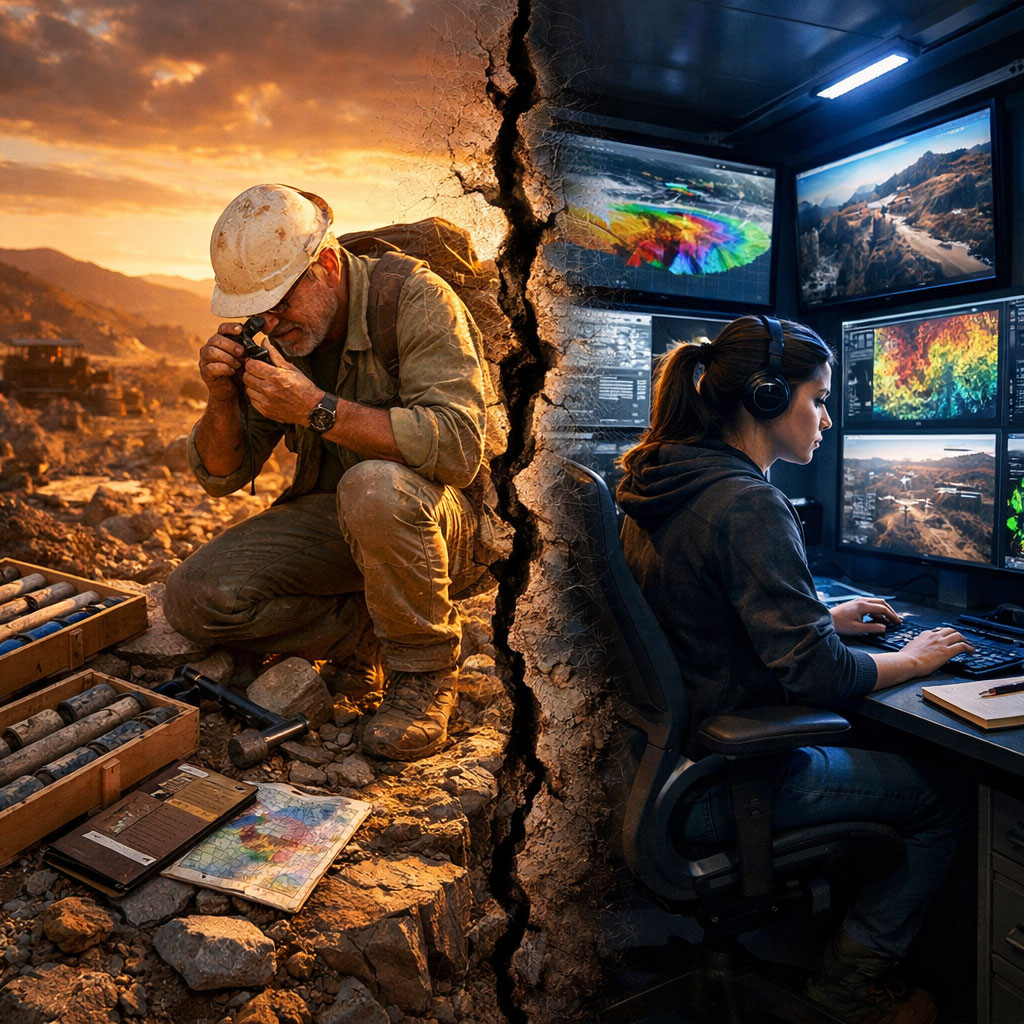
With remote sensing and geophysical technologies, it is now possible to effectively survey large exploration territories with minimal effort and identify even minute anomalies associated with mineralization.
For instance, Jackisch et al. (2020) showed that multi-sensor unmanned aerial systems, which combine hyperspectral and magnetic data with machine learning, can produce detailed geological maps that not only provide effective support to conventional surface-based mapping but also ensure safe and environmentally friendly exploration practices.
Xiong & Zuo (2020) also showed that hybrid machine learning models, which combine deep learning with support vector machines, can effectively identify multivariate geochemical anomalies associated with mineralization with substantial support to exploration targeting.
Technological advancement in this area is based on ground truth data. Spychala (2020) convincingly argues that field work is still essential for validating interpretations made using geophysical and modeling methods, emphasizing the importance of outcrop work as the essential foundation of our understanding of the geometries and spatial patterns observed in nature.
The symbiotic nature of these methods is also demonstrated in Kah et al. (2020), where satellite image processing using Landsat 8 data and extensive field work in Cameroon identified gold-prone zones and verified mineral concentration at river meanders and confluences.
The optimal approach is thus integrated, where technology enables targeting and data integration at the regional scale, while fieldwork provides the necessary validation and understanding. As Saliou & Huang (2020)concluded in their critical analysis of the methods of prospecting, the future path forward lies in the conscious integration of traditional and modern approaches.
References
Jackisch, R., Lorenz, S., Kirsch, M., Zimmermann, R., Tusa, L., Pirttijärvi, M., Saartenoja, A., Ugalde, H., Madriz, Y., Savolainen, M., & Gloaguen, R. (2020). Integrated Geological and Geophysical Mapping of a Carbonatite-Hosting Outcrop in Siilinjärvi, Finland, Using Unmanned Aerial Systems. Remote Sensing, 12(18), 2998. https://doi.org/10.3390/rs12182998
Kah, E., Ndoh Mbue, I., & Gilles, Z. (2020). Combined Methods of Remote Sensing and Fieldwork in Geological and Mineral Exploration in the Mballe Locality, Adamawa Region of Cameroon. Natural Resources, 11, 184–203. https://doi.org/10.4236/nr.2020.114012
Saliou, B. M., & Huang, X. (2020). A Critical Analysis of Gold Prospecting Methods. International Journal of Geosciences, 11(02), 15–24. https://doi.org/10.4236/ijg.2020.112002
Spychala, Y. (2020). About the (in)value of field work. Journal of Sedimentary Research, 90, 102–103. https://doi.org/10.2110/jsr.2020.5
Xiong, Y., & Zuo, R. (2020). Recognizing multivariate geochemical anomalies for mineral exploration by combining deep learning and one-class support vector machine. Computers & Geosciences, 140, 104484. https://doi.org/10.1016/j.cageo.2020.104484