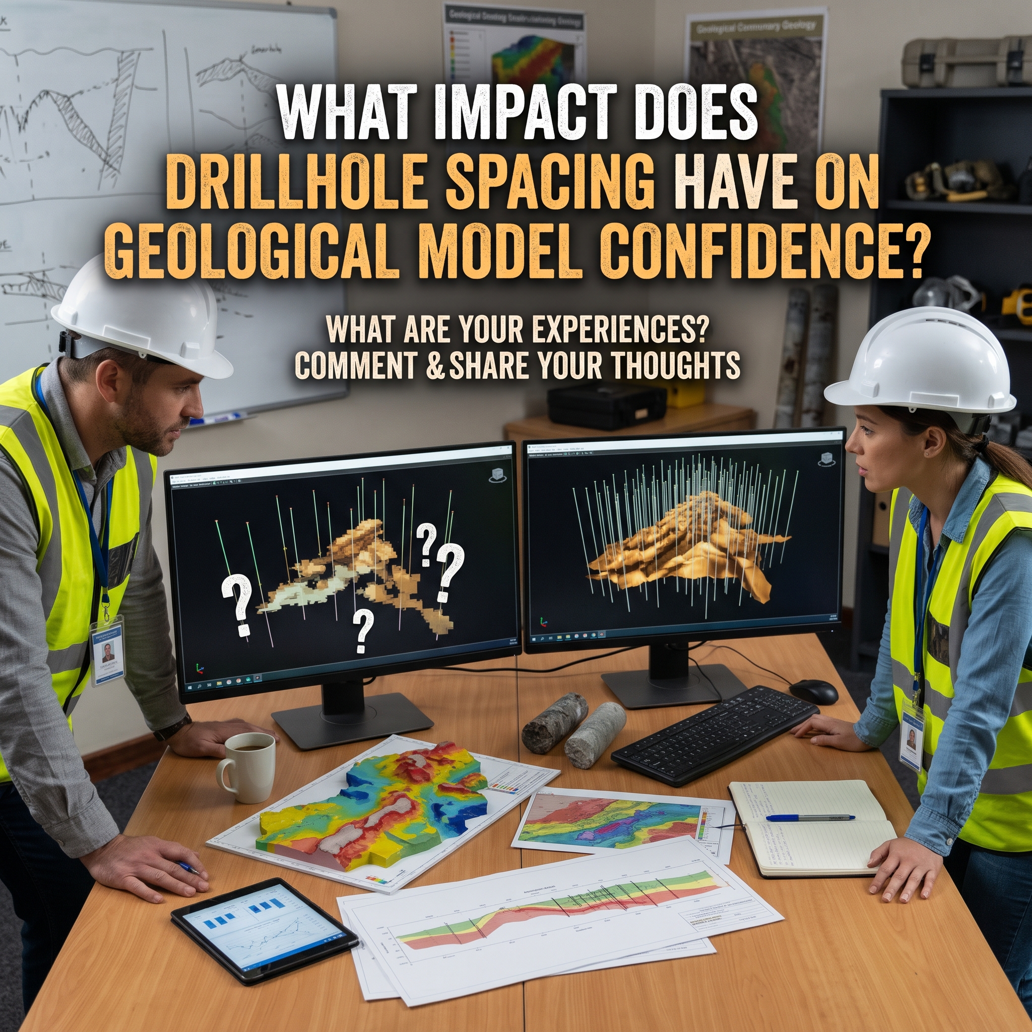


Subsurface exploration presents an inherent engineering challenge because physical drill core provides direct measurements across only a tiny fraction of an entire deposit. Geologists must extrapolate rock characteristics, fault planes, and mineralization boundaries across wide subterranean expanses. Drillhole spacing serves as the primary benchmark that dictates how much of a resulting three-dimensional model represents verified reality versus speculative interpretation. When sample density is insufficient, even sophisticated numerical interpolations can mask critical structural discontinuities. Exploration programs face a delicate balance between the high financial expenditure of systematic drilling and the operational risk of developing a mine on an unproven geological foundation.
Drillhole density determines whether a geological model captures genuine structural geometry or merely smooths over complex ground conditions. Closely spaced boreholes allow exploration teams to trace stratigraphic horizons, track seam thickness variations, and pinpoint sharp lithological contacts. Wide hole intervals frequently cause practitioners to misinterpret isolated mineralized lenses as continuous, tabular bodies. Fault networks, fold hinges, and buried paleochannels remain largely invisible under coarse exploration patterns.
Spatial interpolation techniques such as ordinary kriging depend entirely on variogram models that quantify spatial continuity. If the nominal distance between boreholes exceeds the modelled variogram range, mathematical estimates lose spatial correlation and revert toward the overall deposit mean. Dense drilling preserves localized grade variations and prevents artificial smoothing, ensuring that final volume estimates reflect true underground conditions.
Regulatory reporting standards establish a strict hierarchy from Inferred to Indicated and Measured resources based on data density and demonstrable continuity. Inferred resources reflect widely spaced exploration points where physical continuity can only be reasonably assumed rather than verified. International reporting codes prohibit the direct conversion of Inferred material into economic mineral reserves. Consequently, companies cannot base Preliminary Feasibility Studies or definitive financial models on these speculative estimates.
Systematic infill drilling provides the necessary spatial verification to promote mineralization to Indicated and Measured categories. These higher-confidence tiers demonstrate adequate geological continuity to support mine planning, pit optimization, and reserve statements. Exploration managers must recognize that tighter drilling does not guarantee an expansion of total metal inventory. Closer examination often reveals unsuspected internal waste zones, grade dilution, or structural thinning that reduce overall volume while drastically improving project reliability.
Geostatistical practitioners utilize conditional simulation and kriging variance to evaluate estimation uncertainty across production panels. These stochastic workflows illustrate that drilling data yield diminishing marginal value beyond a certain spatial threshold. Initial exploration holes deliver substantial reductions in variance by establishing gross deposit boundaries and average grades. Subsequent infill holes gradually provide smaller incremental improvements in model confidence.
Formal methodologies such as Drill Hole Spacing Analysis determine the exact spacing threshold where additional core sampling ceases to generate meaningful risk reduction. Value of information assessments demonstrate that optimum drill density depends on geological complexity rather than short-term metal price fluctuations. Structured spacing optimization allows mining teams to satisfy regulatory audit requirements without overspending capital on unnecessary holes.
Drillhole spacing establishes the baseline confidence for every downstream engineering decision in a mining project. Adequate data density turns speculative geological models into bankable mineral reserves suitable for commercial development. Exploration programs achieve superior capital efficiency when they treat drill spacing as a geostatistical optimization exercise rather than a rigid geometric exercise. Targeted infill programs protect operational capital by eliminating fatal flaws before excavation commences.