Sign In


Forgot Password?

Don't have account, Sign Up Here

Forgot Password

Lost your password? Please enter your email address. You will receive a link and will create a new password via email.


Have an account? Sign In Now

Sorry, you do not have permission to Add a Post, You must login to Add a Post.


Forgot Password?

Need An Account, Sign Up Here

Sorry, you do not have permission to add Article.


Forgot Password?

Need An Account, Sign Up Here

Please briefly explain why you feel this Post should be reported.

Please briefly explain why you feel this Comment should be reported.

Please briefly explain why you feel this user should be reported.

Mining Doc Logo Mining Doc Logo Mining Doc Logo
Sign InSign Up

Mining Doc

Mining Doc Navigation

  • Home
    • About
    • Contact us
  • Mining articles
  • Online Courses
Search
Sign up

Mobile menu

Close
join for free
  • Home
  • Online courses
  • Case study
  • Mining Community
  • Solutions listing
    • Lase Solutions
    • O-PitBlast Solutions
    • Continuous Mining
    • Longwall mining
    • Geosight Scanners
    • LoopX AI
    • Terafil solutions
    • Blasting solutions
    • Geotechnical
    • Submersible Pumps
    • Mine rescue system
    • Ore sorting
    • Whittle Consulting Solutions
  • Add Blog
  • Feed
  • User Profile
  • Posts
    • New Posts
    • Trending Posts
    • Must read Posts
    • Hot Posts
  • Polls
  • Badges
  • Home
    • About
    • Contact us
  • Mining articles
  • Online Courses

Mining Doc Latest Posts

Mining Doc
  • 0
  • 0
Mining DocEnlightened
Added: June 18, 20262026-06-18T06:16:21-04:00 2026-06-18T06:16:21-04:00In: Mining Engineering

What advances have been made in real-time rock mass characterisation using LiDAR and photogrammetry to replace manual geotechnical mapping?

  • 0
  • 0

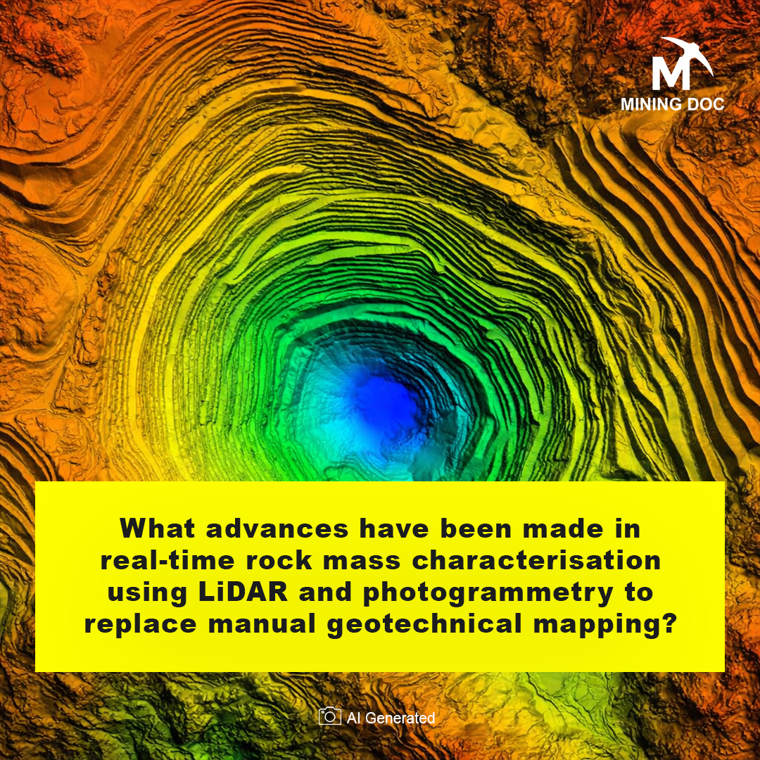
Rock Mass Characterization involves evaluating the engineering properties of rock masses in terms of discontinuities to evaluate structural integrity (Janiszewski et al., 2023). LiDAR employs laser pulses in creating an accurate 3-dimensional point cloud, while photogrammetry refers to a passive technique of acquiring complicated 3D forms from overlapped 2D photos.

In the past, traditional methods of geological mapping used tools such as compasses. Traditional mapping techniques are subjective and dangerous because they expose engineers to risky situations. Consequently, remote sensing techniques have gained importance as essential alternatives for data acquisition (Chen et al., 2025).

Photogrammetric methods have evolved substantially with the use of Unmanned Aerial Vehicles (UAVs). The UAVs fill in any ground level observation gaps and collect all imagery data from appropriate angles on hard-to-reach rock surfaces (Salvini et al., 2016). Modern algorithms convert the image data into a photorealistic 3D model to derive plane orientations digitally.

The LiDAR development consists of compact Terrestrial Laser Scanning (TLS) devices providing extremely high spatial accuracy. This sub-millimeter accuracy is essential for obtaining joint roughness measurements. By creating millions of data points, LiDAR technology eliminates conventional scanlines in favor of accurate discontinuity assessment.

The combination of 3D point clouds with automated methods constitutes a revolutionary advancement in technology. Modern clustering technologies can automatically divide unorganized data into different clusters depending on the orientation planes of structures (Chen et al., 2025). Such an advanced system enables fast identification of geometrical parameters, thereby facilitating the development of accurate Discrete Fracture Networks.

Manual mapping is regarded as one of the greatest shifts in geotechnics since it has been replaced by Lidar and photogrammetry techniques. These advanced approaches not only enable more accurate mapping but also ensure greater safety for the workers due to remote analysis of the structures. Automation in slope stability analysis will enhance its perfection in the future (Gou et al., 2024).

The shift from the old-school manual mapping to the use of sophisticated remote sensing methods such as LiDAR and photogrammetry signifies an important breakthrough in the process of rock mass characterization. The new methods not only rule out the potential inaccuracies and inherent dangers involved in the traditional compass method of assessing rock formations but also offer increased spatial accuracy and resolution. Thanks to their capability to facilitate automatic discontinuity detection, efficient geometrical parameter determination, and creation of highly detailed 3D models, the adoption of LiDAR and UAV-supported photogrammetry has improved the reliability and safety of rock assessment processes considerably. The rise of automation in this sphere, especially slope stability analysis, ensures a bright future ahead.

References

Chen, J., Li, H., Jiang, N., et al. (2025). Stability evaluation of shallow blocks in high and steep slope combining TLS and UAV photogrammetry. Geomatics, Natural Hazards and Risk, 16. https://doi.org/10.1080/19475705.2025.2464052

Gou, Q., Wang, P., Jing, G., & Cai, M. (2024). Influence of 3D joint roughness on fracture behaviours of rock mass subjected to compression. Geomatics, Natural Hazards and Risk, 15. https://doi.org/10.1080/19475705.2024.2385626

Janiszewski, M., Prittinen, M., Uotinen, L., Torkan, M., & Rinne, M. (2023). Rapid photogrammetric method for rock mass characterization in underground excavations. The IV Nordic Symposium on Rock Mechanics and Rock Engineering – Proceedings. https://doi.org/10.33112/nrock2023.20

Salvini, R., Mastrorocco, G., Seddaiu, M., Rossi, D., & Vanneschi, C. (2016). The use of an unmanned aerial vehicle for fracture mapping within a marble quarry (Carrara, Italy): photogrammetry and discrete fracture network modelling. Geomatics, Natural Hazards and Risk, 8, 34–52. https://doi.org/10.1080/19475705.2016.1199053

What advances have been made in real-time rock mass characterisation using LiDAR and photogrammetry to replace manual geotechnical mapping?
0
  • 0 0 Comments
  • 22 Views
  • 22 Reactions
  • 0 Followers
  • 0
    • Report
  • Share
    Share
    • Share on Facebook
    • Share on Twitter
    • Share on LinkedIn
    • Share on WhatsApp

Related Posts

  • How do you conduct a drill-and-blast optimisation study to reduce powder factor while maintaining acceptable fragmentation for downstream processing?
  • What are the geotechnical design criteria for open-pit inter-ramp and overall slope angles in weak, altered rock masses?
  • What are the design and operational requirements for a paste fill reticulation system in a deep underground mine?

You must login to add an Comment.


Forgot Password?

Need An Account, Sign Up Here
aalanaalan

Sidebar

  • Recent
  • How Can Peruvian Customers Balance Cost and Performance?
    • On: June 18, 2026

    How Can Peruvian Customers Balance Cost and Performance?

  • How Mining Operations Use Ready Mix Concrete Batching Plants for Faster Construction
    • On: June 18, 2026

    How Mining Operations Use Ready Mix Concrete Batching Plants for ...

  • How Drone Technology is Transforming Modern Mining Operations
    • On: June 18, 2026

    How Drone Technology is Transforming Modern Mining Operations

  • Is Upgrading Aggregate Production Lines Worth the Investment?
    • On: June 15, 2026

    Is Upgrading Aggregate Production Lines Worth the Investment?

  • Asphalt Batching Plant for Sale Burner and Flight Data Engineering Auditors Must Demand for EPC Compliance
    • On: June 15, 2026

    Asphalt Batching Plant for Sale Burner and Flight Data Engineering ...

  • A rise in gold output is on the horizon for Ivory Coast in 2026, as mining operations across the country ramp up.
    • On: June 12, 2026

    A rise in gold output is on the horizon for ...

  • SigraFi and PeaceGold reach agreement to formalize artisanal gold trading in eastern Democratic Republic of Congo.
    • On: June 12, 2026

    SigraFi and PeaceGold reach agreement to formalize artisanal gold trading ...

Go to Home page to view more

Top Members

Olena Skyba

Olena Skyba

  • 150 Posts
  • 2 Comments
Pundit
Marcial

Marcial

  • 91 Posts
  • 0 Comments
Enlightened
Jean Marais (Sanodea Group)

Jean Marais (Sanodea Group)

  • 25 Posts
  • 0 Comments
Beginner
Trending on Mining Doc

Trending Communities

Fixed Plant General Information Geology Mining Case Studies Mining Doc Documentary Mining Engineering Mining Events Mining Finance and Economy Mining Human Resources Mining Industry Research Mining Operations Mining Software Solutions Mining Sustainability Mining Technology Solutions Mobile Plant Equipment

Explore

  • Home
  • Online courses
  • Case study
  • Mining Community
  • Solutions listing
    • Lase Solutions
    • O-PitBlast Solutions
    • Continuous Mining
    • Longwall mining
    • Geosight Scanners
    • LoopX AI
    • Terafil solutions
    • Blasting solutions
    • Geotechnical
    • Submersible Pumps
    • Mine rescue system
    • Ore sorting
    • Whittle Consulting Solutions
  • Add Blog
  • Feed
  • User Profile
  • Posts
    • New Posts
    • Trending Posts
    • Must read Posts
    • Hot Posts
  • Polls
  • Badges

Footer

Mining Doc

Join our community and connect with other people in the Mining industry for knowledge sharing.

Legal Stuff

  • Privacy Policy
  • Terms of Service

Help

  • Support
  • FAQs
  • How to add new content and how to promote a content
  • Compliance and guidelines
  • Subscribe to Mining Doc

Follow

© 2026 Mining Doc. All Rights Reserved